This was 3years ago. I think this record has been broken more recently.
VESTAS Sailrocket 2 hits 74 MPH in 2012
Post a comment (1 comment)


This was 3years ago. I think this record has been broken more recently.
Everything Happen for a Reason from rossangeles on Vimeo.
Sent in by Mike W


 This poster by National Geographic really struck me. The migration to Hawaii by Marquesas Islands sailors somewhere between 300-800 AD in open sailing canoes, along with plants and animals. When you look at this map of South Pacific Islands, you see what a feat that was. No GPS.
I had an interesting talk yesterday with my neighbor John Washington, who has sailed in this part of the world. How did these guys sail 2500 miles and land on the Hawaiian islands, which are way out in the ocean away from everything else? We concluded they combined many skills: astronomy, direction of swells, winds, birds and fish; intuition…
Somewhere I read that Polynesian navigation knowledge was passed along in oral tradition from navigator to apprentice, partly in song.
It caused me to reflect on my Euro-centric education. Western Civilization was required for Stanford freshmen when I went there. Nothing about China, India, the South Pacific, Buddhism, Zen, the great Khmer civilization, the Taoists, Chi Gung, the concept of chi… (Part of consciousness-expansion in the ’60s was discovery of the rest of the world’s civilizations and practices.)
The Tahitians arrived around 1200 AD and things got brutal. Cook arrived in the 1700s.
It’s fascinating history.

 Old school. No stinkin SurfTek boards here!
Awesome collection of hand-crafted/shaped by Ambrose surfboards.
 Ambrose is south of the main part of Kapa’a, on the main highway.
He’s a wise man.
See earlier post:
 I saw a huge number of old school surfboards (turns out there are 200, almost all made by Ambrose) a little south of the main part of Kapa’a, stopped in and met Ambrose Curry III, who has lived here since 1969. Turned out he is a fellow native San Franciscan, so we had lots to talk about. We hit it off on all cylinders and even went out in the choppy reef surf on 2 of his big boards (10′ and 11′) and got knocked around a bit while he pointed out landmarks on the shore and mountains.
Here he is standing next to a 15′-4″ board that is 30-7/8″ wide and weighs 40 lbs. It’s styrofoam with epoxy resin. (I saw some spectacular Hawaiian tandem surfing on TV last night.)
I told Andrew about my trouble riding an air mat and he said the really good mats were made by Dale Solomon and called Pneumatic Surfcraft, no longer available. They had, among other things a very roughened up top deck. He gave me a lot of mat riding tips, so I’m gonna give it another try when I get home.
Boy, was it fun to run into a brother native son, and a surfer to boot.
This explains why there are so many dangerous places to swim in Hawaii — the steep drop-off of mountains into sea.
-From Ted Fleming
 “The Hawaiian Islands are a chain of massive volcanoes that stretch over 1,000 miles across the Pacific Ocean. Though some of these volcanoes reach nearly 14,000 feet above sea level, more of their height lies under the ocean’s surface. For example, Mauna Kea (on big island of Hawaii — 13,796 ft above sea level) is about 32,000 feet from the mountain’s base to the summit.”
https://pacificislandparks.com/2012/02/18/below-the-surface/
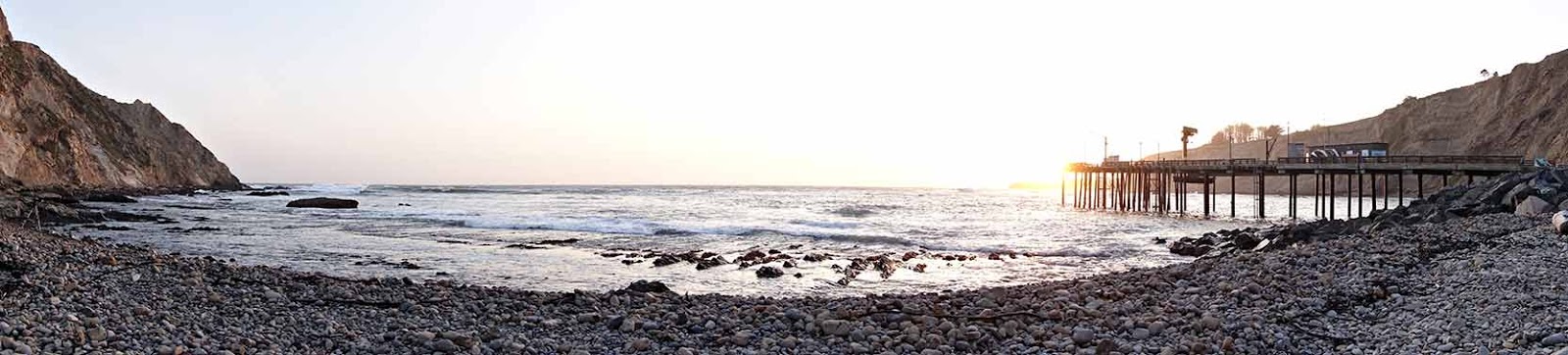
 About 3 AM on the beach.